
Geschichte
Bayerns
> Land and People > Topography
Topography
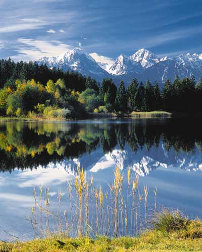
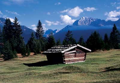
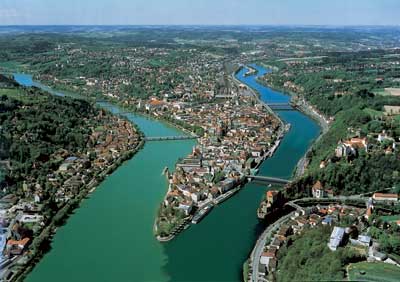
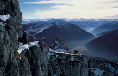
In terms of surface area, Bavaria is the largest of Germany's federal states, and also the southernmost. The landscape of Bavaria can be subdivided into four major regions: the Alps, with the Zugspitze, the highest mountain in Germany at 2,962m; the Alpine foothills with their numerous lakes; the Eastern Bavarian central mountains with the first ever national park in Germany; and the Swabian-Franconian cuesta landscape. The longest rivers are the Danube and the Main. Bavaria is also the most forested part of Germany.
Bavaria was the first ever region in Europe to be precisely measured.
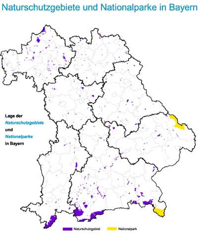
Nature conservation and environmental protection are of high importance, and have been an integral part of the Bavarian constitution since 1984. The German Alpine Association has set itself the task of making the Alps accessible while preserving the alpine environment.
The deepest borehole in Europe was drilled in Bavaria, for research purposes. In Windischeschenbach, in the Upper Palatinate, the continental deep-drilling reached a depth of 9,101 metres.
In terms of surface area, Bavaria is the largest of Germany's federal states, and also the southernmost. The landscape of Bavaria can be subdivided into four major regions: the Alps, with the Zugspitze, the highest mountain in Germany at 2,962m; the Alpine foothills with their numerous lakes; the Eastern Bavarian central mountains with the first ever national park in Germany; and the Swabian-Franconian cuesta landscape. The longest rivers are the Danube and the Main. Bavaria is also the most forested part of Germany.
Bavaria was the first ever region in Europe to be precisely measured.
Nature conservation and environmental protection are of high importance, and have been an integral part of the Bavarian constitution since 1984. The German Alpine Association has set itself the task of making the Alps accessible while preserving the alpine environment.
The deepest borehole in Europe was drilled in Bavaria, for research purposes. In Windischeschenbach, in the Upper Palatinate, the continental deep-drilling reached a depth of 9,101 metres.
 |
 |
 |
 |
 |
 |
 |
||
| Weitere
Artikel im Kapitel "Land and People": Bavaria - a Land at the Heart of Europe The Free State of Bavaria Today Topography Climate Inhabitants Language and Dress Religion Festivals Food and Drink Traditional Symbols Recreation |
||